As Australia’s leading biodiversity data repository, the ALA is a vital resource for natural resource managers, rangers, landowners, community groups and NGOs as well as policy and decision makers responsible for biodiversity, ecosystem services, biosecurity and conservation management.
Explore & contribute
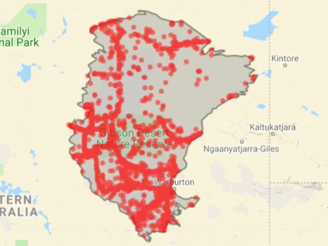
Explore regions
Browse pre-defined state, territory, local government areas, and biogeographic regions using a map-based biodiversity discovery tool.
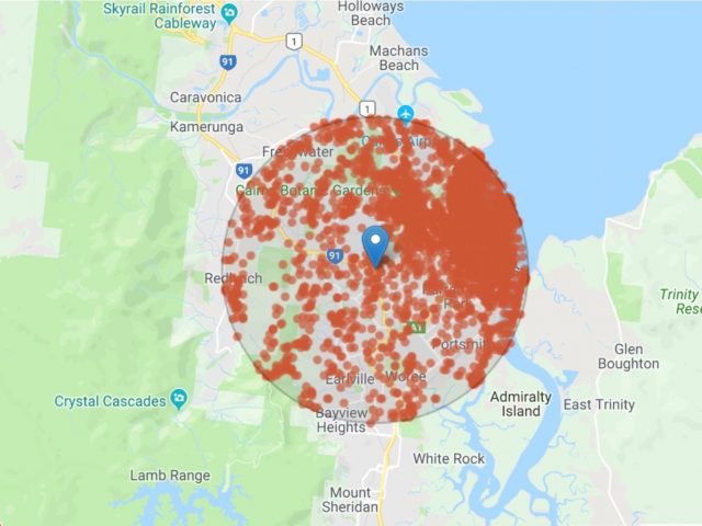
Explore your area
Search by street address, GPS coordinates, postcode or place name to find out which species live nearby.
Share your data
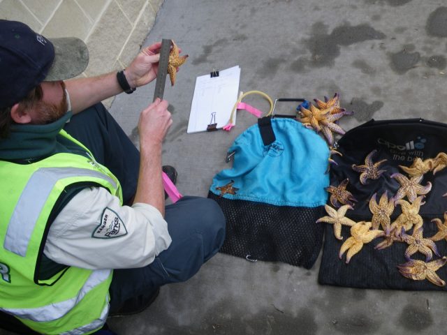
Upload your biodiversity data to the ALA: occurrence data, images, sound files, genomic data, museum specimens.
Tools
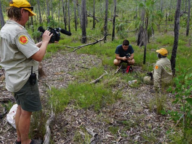
BioCollect
Create surveys, capture data in the field, and manage your biodiversity, ecological and natural resource management data.
Spatial Portal
Map, visualise and analyse relationships between species, location and environment.
Species lists
Upload your own list of species to use in the ALA or use a list uploaded by other ALA users or data providers.
Federal, state and territory governments and local councils
- Use BioCollect to collect, manage and store data in the field.
- Explore pre-defined regions e.g. state or territory boundaries, local government areas, biogeographic regions, and more.
- Share your data: upload occurrence records, survey results, images, sound files, genomic data, and more.
- Access authoritative naming, taxonomy and conservation data, species information and images.
- Contact us to establish a data hub for your department or domain, e.g. MERIT for the Australian Government Department of Environment and Energy.
Rangers, natural resource managers and environmental consultants
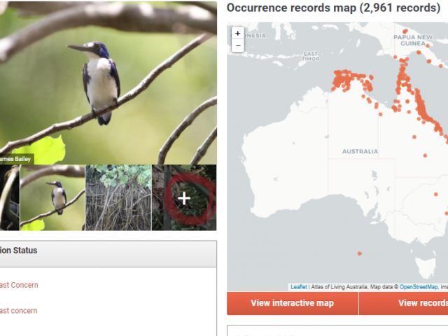
- Use the Spatial Portal to map occurrence data.
- Analyse records using layers of spatial and environment data from ABARES, Geoscience Australia and DoEE.
- Generate area reports for selected regions or areas.
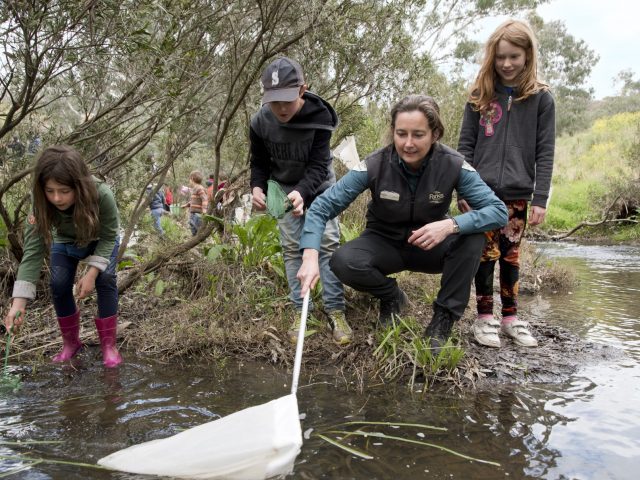
- Use BioCollect for citizen science projects and to collect, manage and store data in the field.
- Search, filter and download species occurrence records in your area.
- Download ALA mobile apps for your device.